The 3D Elevation Data Program is a Game-Changer
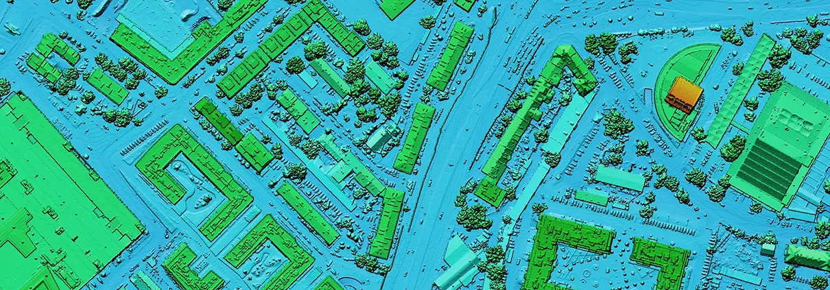
For decades, engineers have relied on a patchwork of data consisting of field surveys, orthographic photos, and other sources to piece together baseline topographic data
For decades, engineers have relied on a patchwork of data consisting of field surveys, orthographic photos, and other sources to piece together baseline topographic data

The first maps on record that took advantage of an aerial perspective were sketched from the deck of a hot air balloon under the auspices

Out with human surveying teams slogging across a project site to map a floodplain and in with slick UAV (unmanned aerial vehicle or drone) performing
We use cookies to give you the best online experience. By agreeing you accept the use of cookies in accordance with our cookie policy.

When you visit any web site, it may store or retrieve information on your browser, mostly in the form of cookies. Control your personal Cookie Services here.